The development history beneath West Allis affects every drilling decision made here. Industrial activity from the early twentieth century left buried infrastructure on parcels that have since converted to other uses. Old utility laterals, abandoned service connections, and removed foundations are common subsurface findings. Even parcels that look straightforward at the surface can hold complications below ground that only show up when a drill encounters them. Ask us about farm well drilling as well.
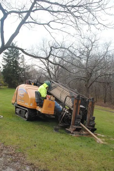
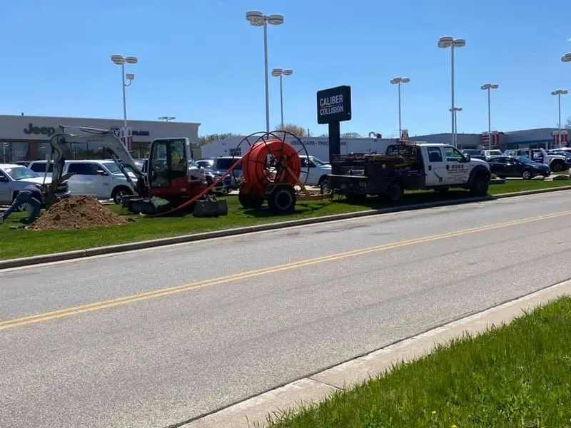
A horizontal drilling contractor with experience in this kind of environment plans for those conditions instead of assuming a clean subsurface. We do the site research upfront, including available utility records and historic aerial review where it is informative, before any equipment moves onto the property. Knowing what is likely to be encountered shapes the bore path design and reduces the surprises that turn a routine project into a delayed one.
West Allis also has a high density of municipal utility infrastructure, which affects directional projects in two ways. First, utility crossings need to be coordinated with the city and any affected utility providers before work proceeds, which is a planning step we manage as part of the project scope. Second, the spacing between existing utilities and any new directional bore has to be calculated and verified during execution. Our directional drilling equipment includes real-time tracking that lets the operator confirm the bore is staying within the planned envelope as the work proceeds. Many homeowners in the area also ask about our directional drilling services.